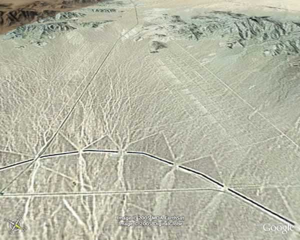
There’s a thousand Google Earth snapshot sites, but I really like these two. This is the Rice Valley in the eastern Mojave Desert along California Highway 62. In here you can see markings from both the California Aqueduct and earlier marks from the WWII-era Desert Training Center.
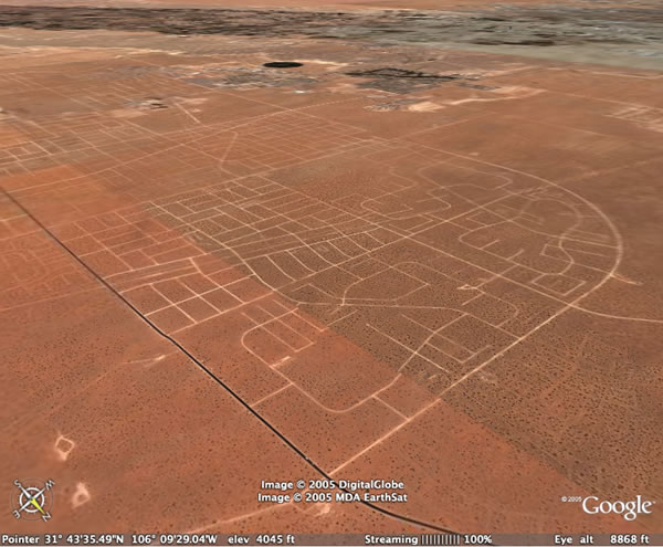
This is an abandoned housing tract east of El Paso. The streets were laid out, but the project went bankrupt before the houses were built.